
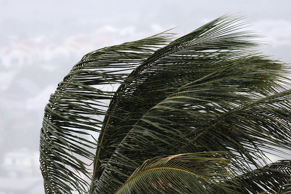
Tropical Cyclone Narelle has smashed into Cape York this morning as a powerful Category 4 system, bringing wind gusts up to 270km/h as it crossed the coast northeast of Coen. Premier David Crisafulli has warned the cyclone will move “hard and fast”, with destructive winds, storm surges and intense rainfall already hitting remote communities and power outages spreading across the Far North.
Cairns, though well south of the eye, is feeling the system’s reach. Overnight storm surges battered the northern beaches, pushing sand across esplanades and forcing the closure of Ellis Beach when waves washed over the road. More coastal impacts are expected around the morning high tide, with authorities warning of dangerous surf, strong currents and rapidly changing conditions.
Heavy rain bands linked to Narelle are also building, with the potential for significant falls and flash flooding across the region today. Residents are being urged to stay off beaches, avoid unnecessary travel and keep monitoring official warnings as the cyclone continues to influence conditions across the Far North.


